Glacier Park Chat

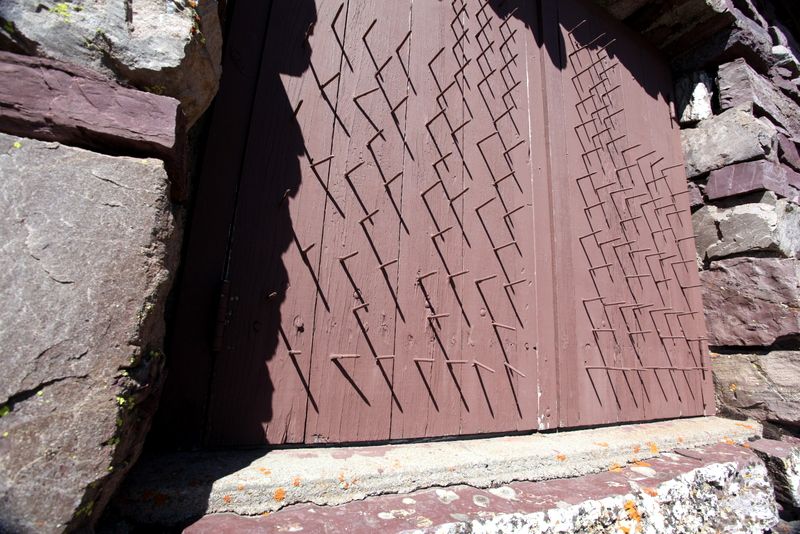
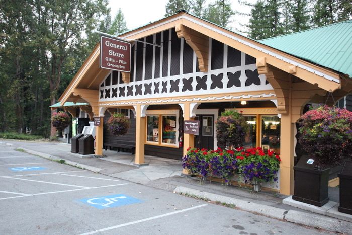
Phones
--------
I picked up a $10 phone card as I gassed up before leaving town. My carrier (T-Mobile) has roughly three cell towers in Montana, so the only way to connect is using the phones by the camp store. The problem is, the phones grab a buck and a quarter per connection. Even though the phones say, “Phones do not accept incoming calls,” one of the two phones does. Via that phone, I was getting phone calls from Julie and Pete during the trip. Pete and I were working out coordinating a hike, but he also informed me that Todd and company were doing Grinnell Glacier today. I had planned on heading to “Oh Canada,” but switched my plans to:
Hike: Angle’s Wing
Distance: Longer that Grinnell Glacier
Elevation: Damn right it’s uphill
If you’re wondering why I don’t list the hike’s actual distance and elevation, it’s because I don’t know those details. (grin.) In fact, I’m somewhat remiss about looking at maps….ok, I don’t look at maps unless it’s a brand new hike, and even then I may forget to look at a map.
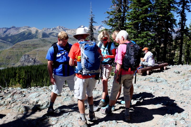
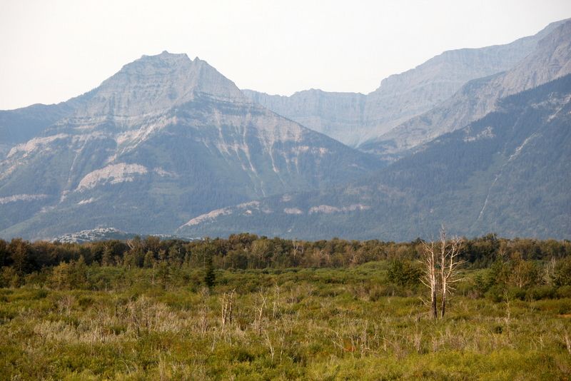
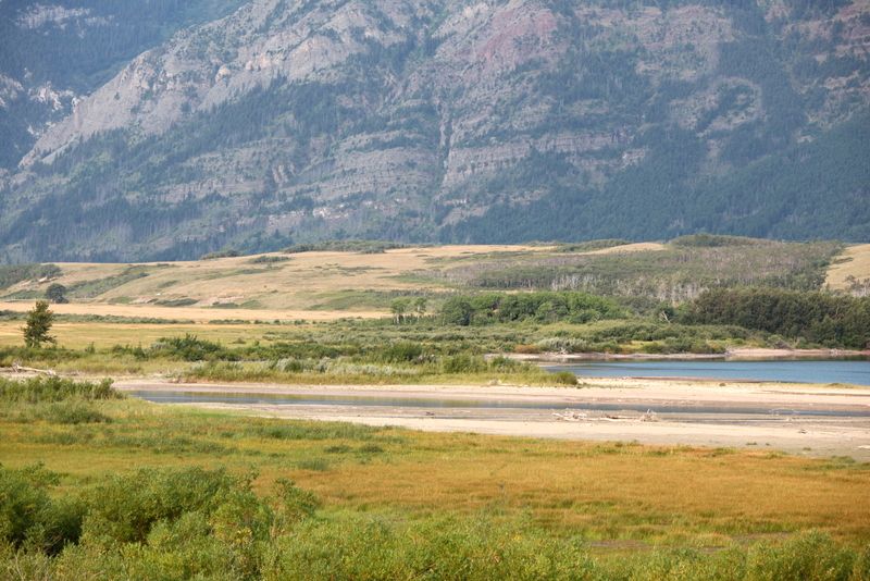
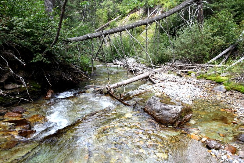
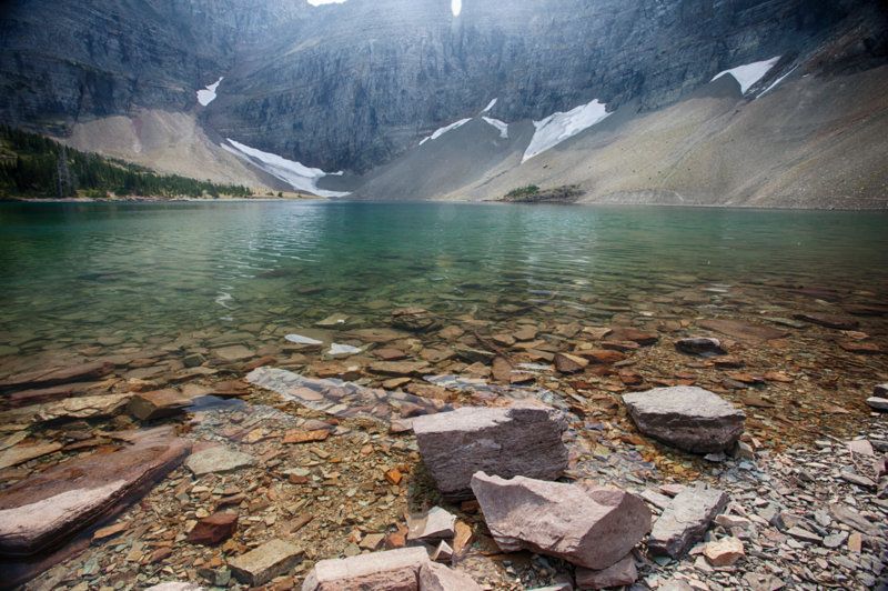
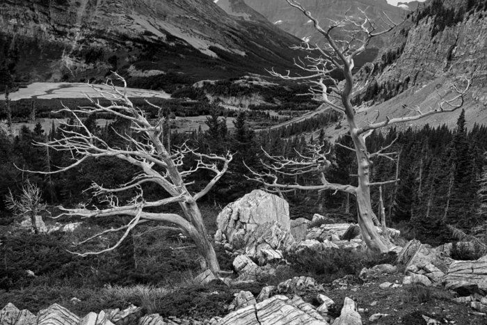
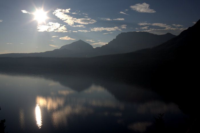
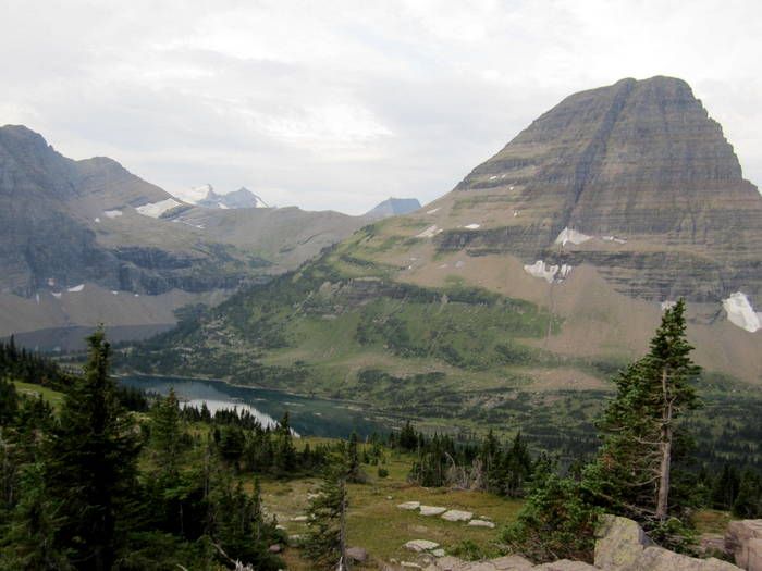
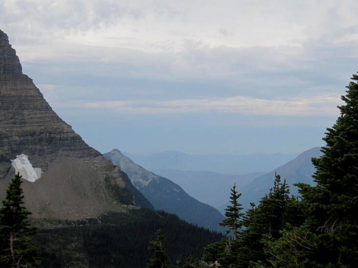
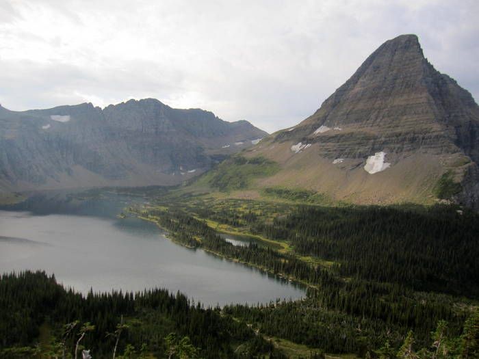
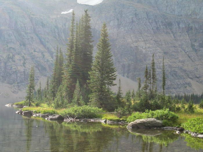
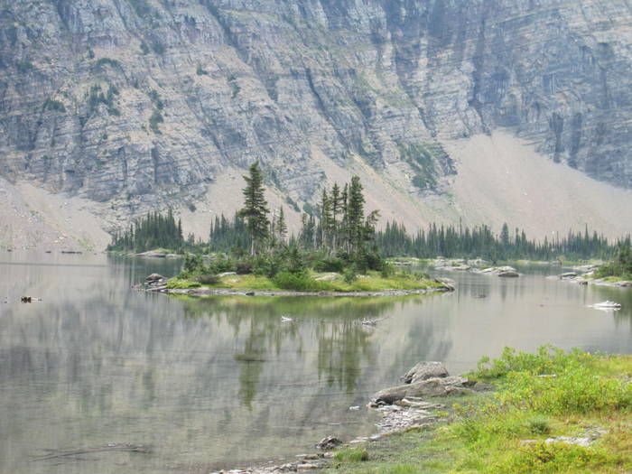
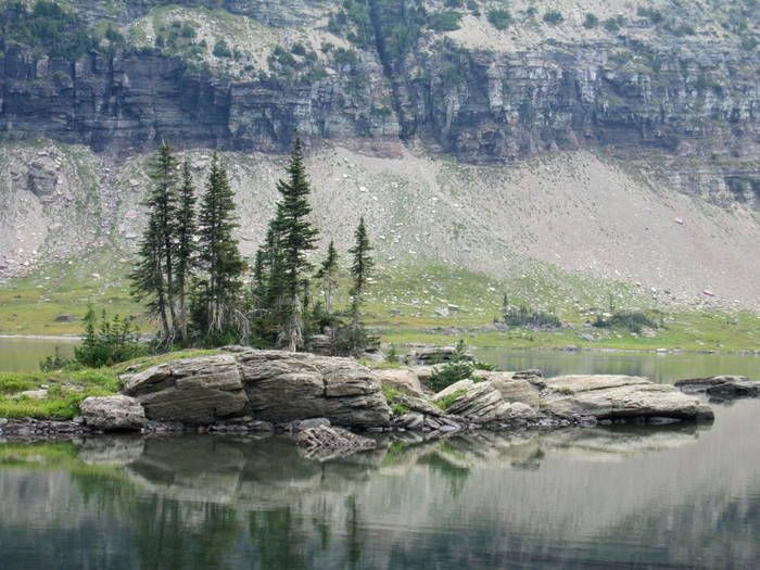
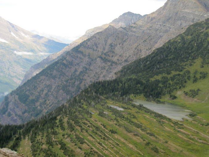
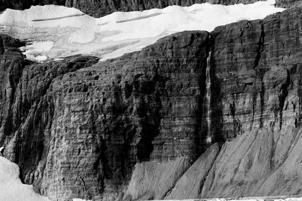
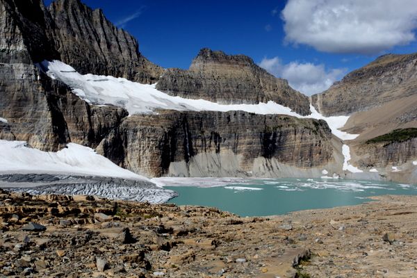
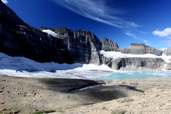
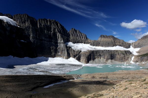
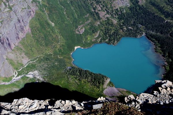
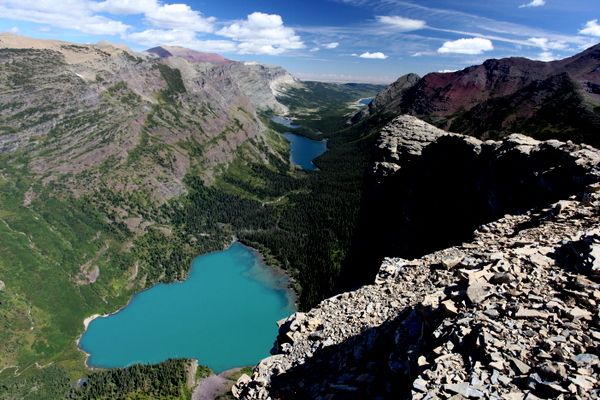
So, the rough idea was to hike Angel’s Wing and maybe on the return trip, run into Todd and Co. Grinnell Glacier is a hike I’ve done many times, but I usually hike it half way. I love the view over Grinnell Lake, and I’ll photograph it kind of like photographing sunrise at Swiftcurrent Lake. That is, I’m hoping for some spectacular lighting to make a very nice scene something really special. Today the lighting was mostly blue skies,
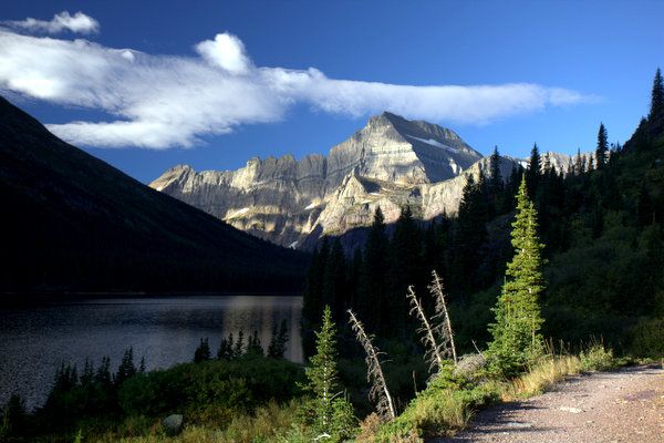
so I skipped over my normal photography grounds
and headed for the Glacier.
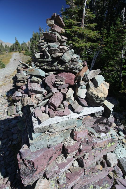
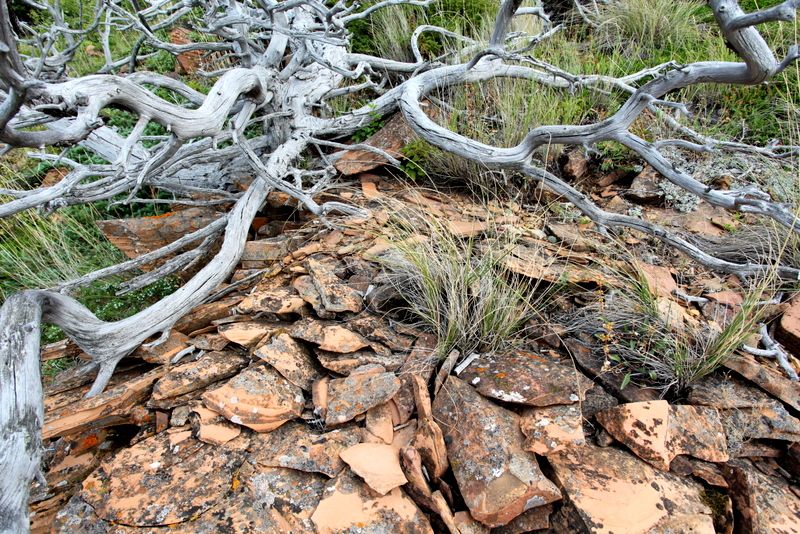
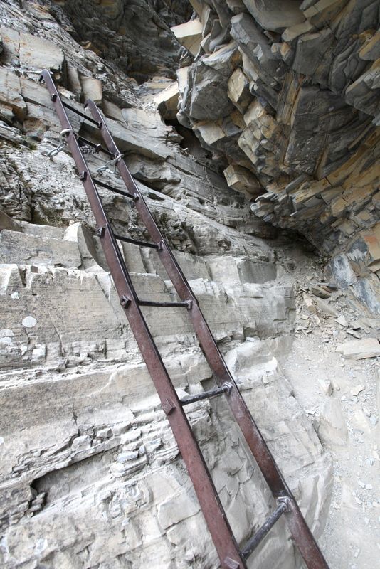
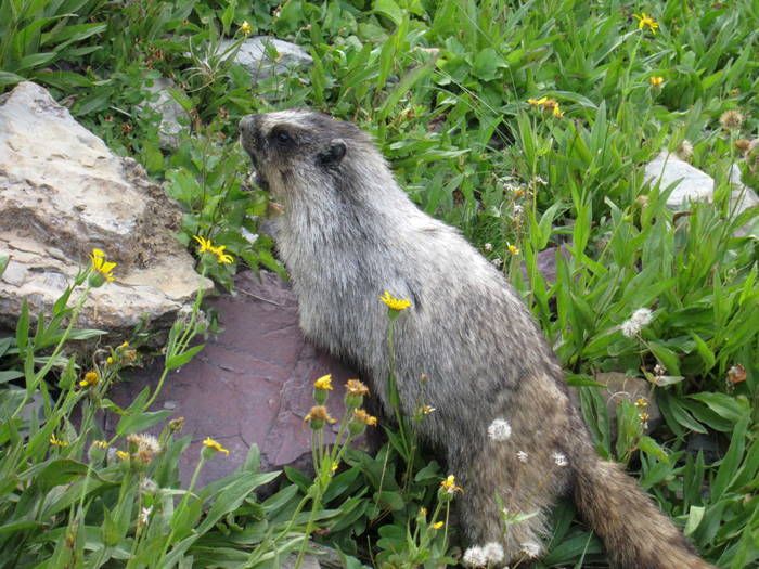
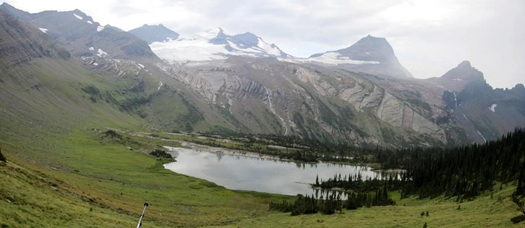
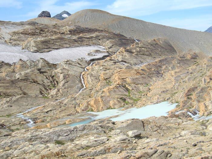
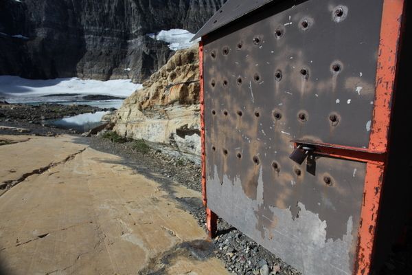
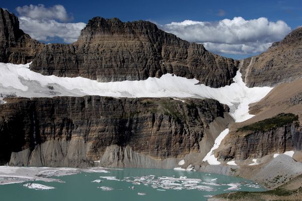
Once at the Glacier, I ran into a metal box that appeared to house some sensing equipment. I’ve never seen this on previous trips.
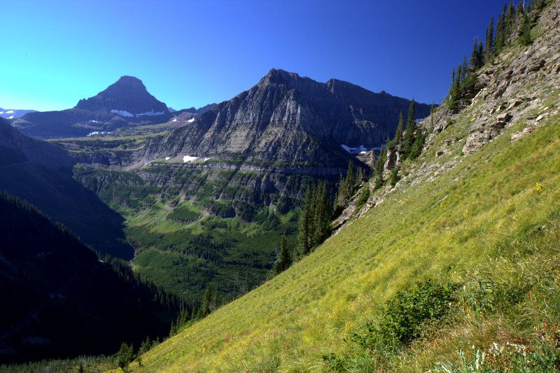
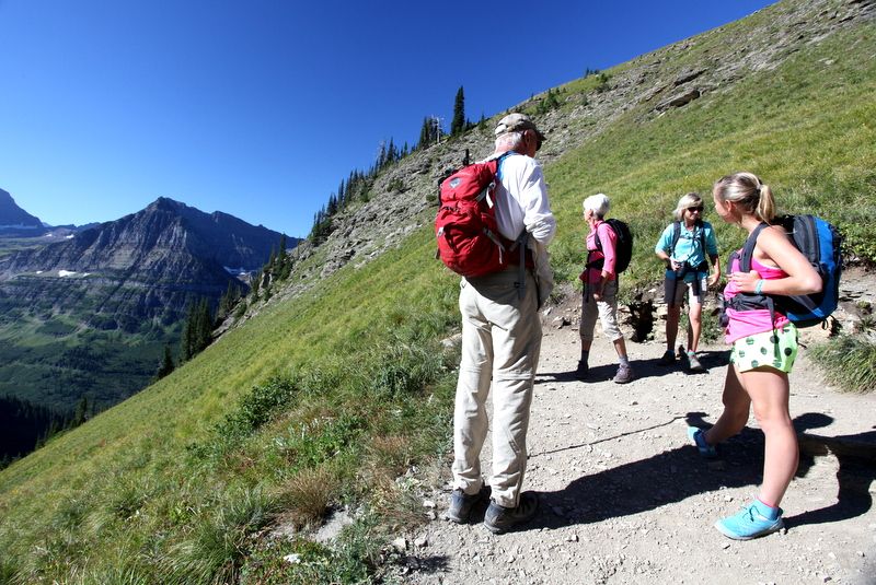
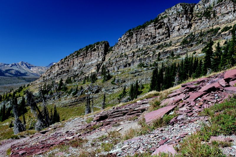
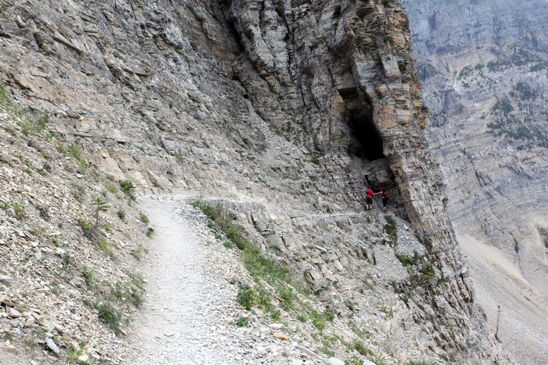
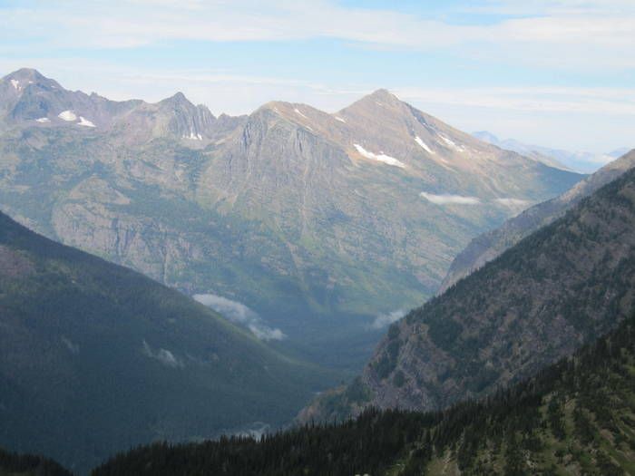
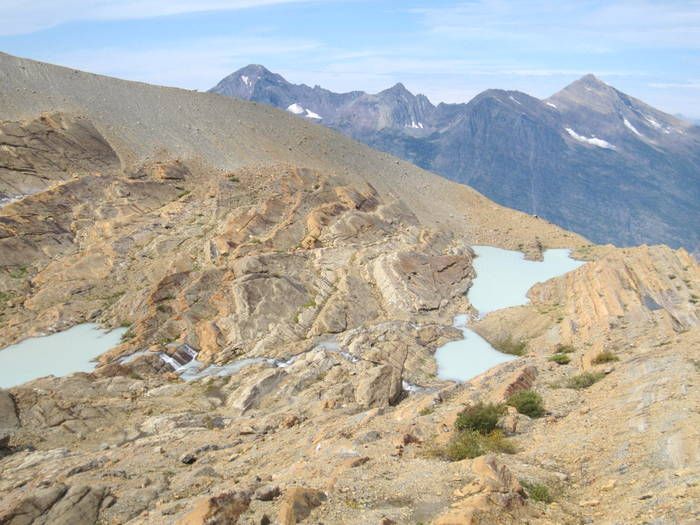
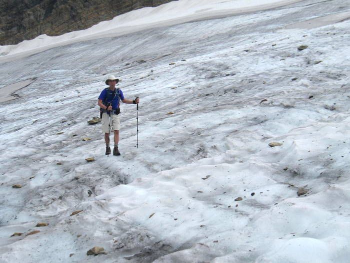
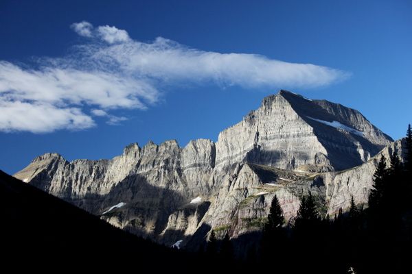
I looked up at Angel’s Wing and groaned. It looked like a long ways up and the body wasn’t quite sure it was ready for that. All I could think of was one of the garage concrete saying, “Dude, this is a lot of work.” And he said it over and over again. Well, I haven’t come this far to wimp out.
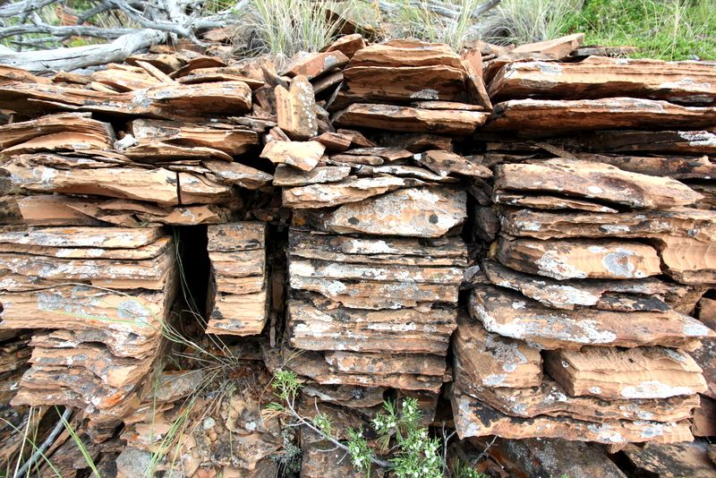
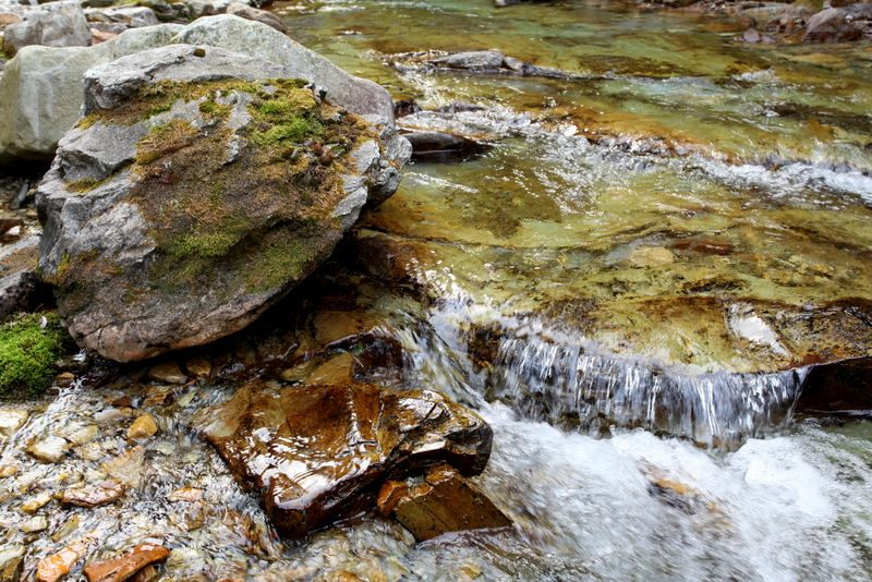
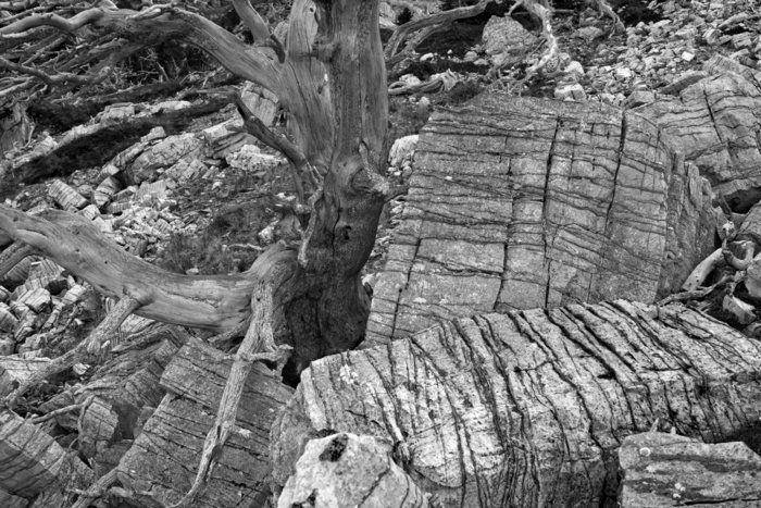
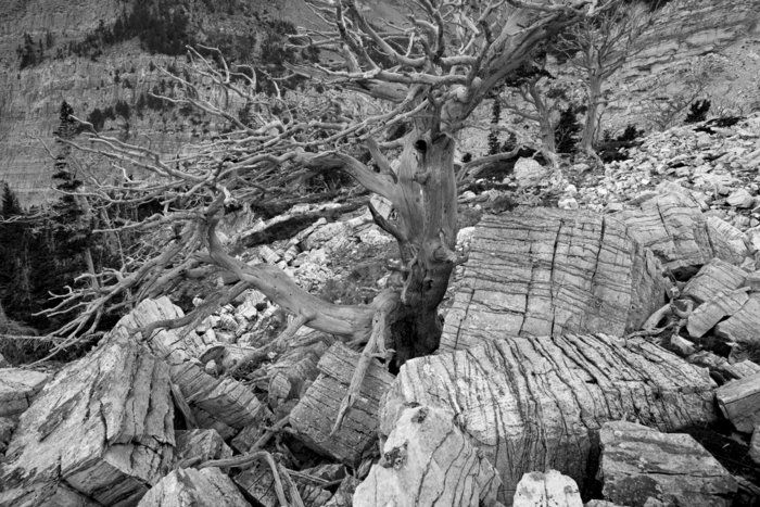
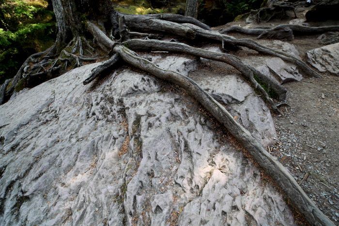
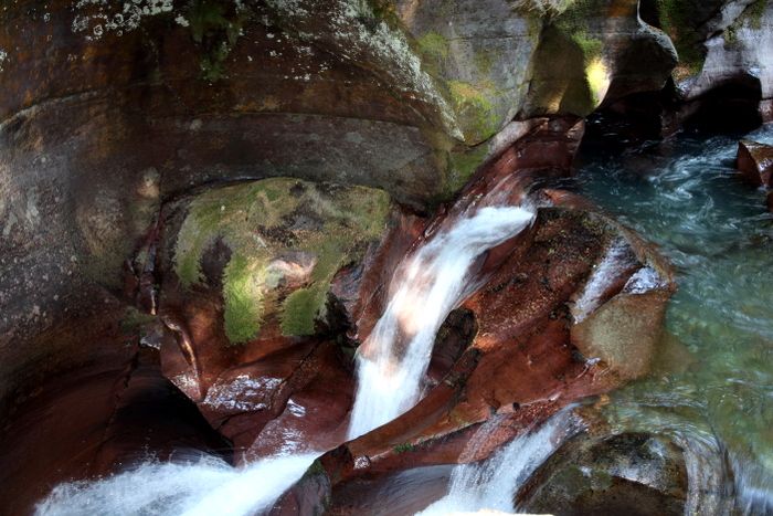
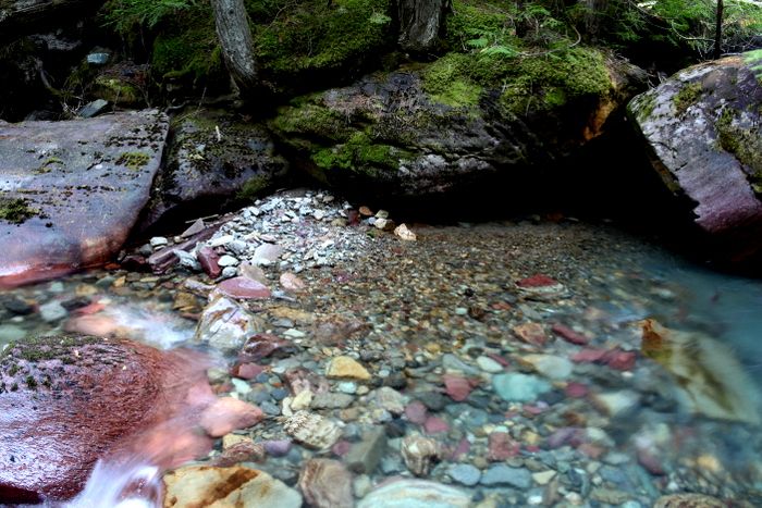
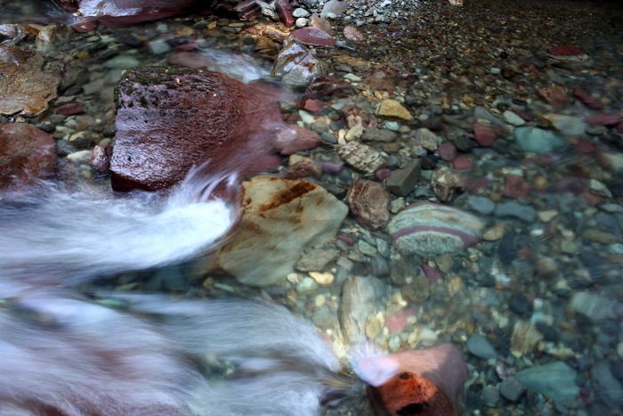
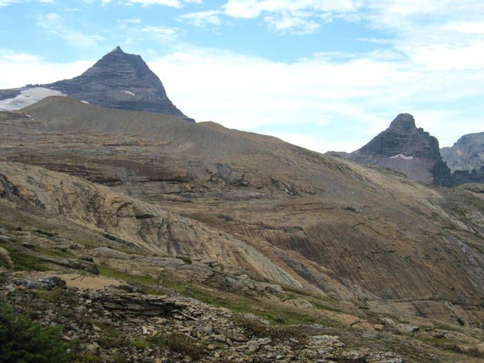
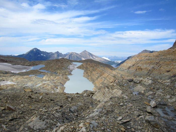
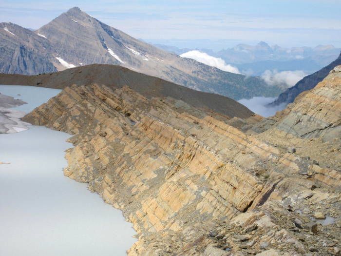
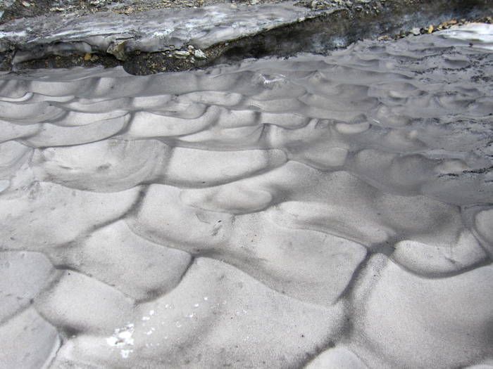
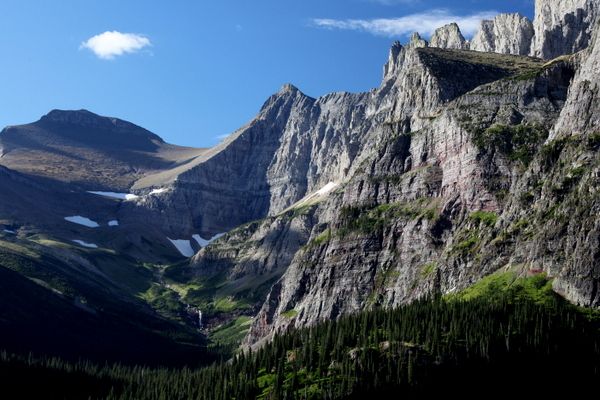
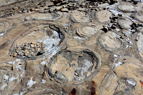
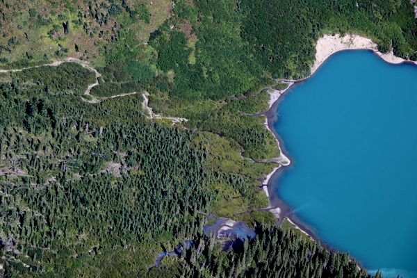
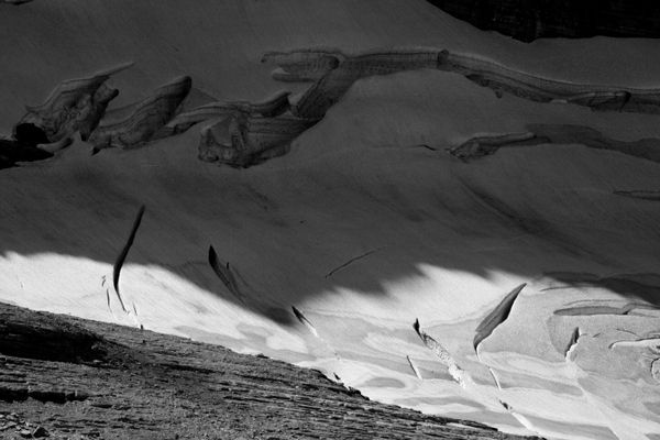
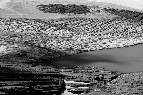
The hike to the peak itself is a walk up. After crossing the creek, the rocks show what looks like bubbling mud that turned to rock. Interesting stuff.
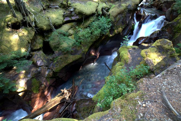
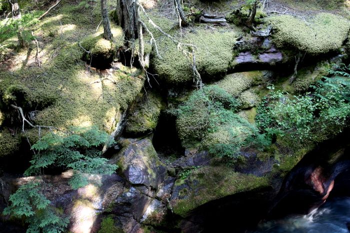
Up, up, up, and pictures.
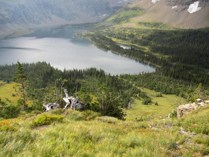
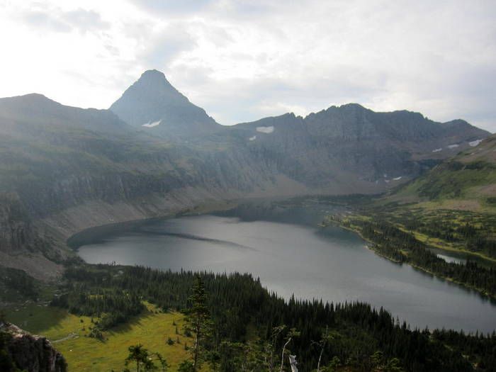
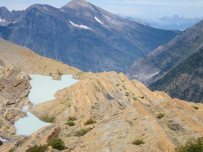
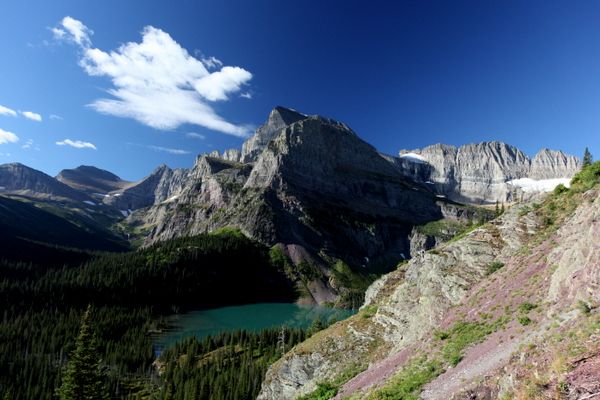
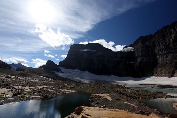
So once you’re on top, then there’s the view over the edge that messes with the gut. What if I would run off that ledge….or slip on rocks as I grab for my camera that got blown over by the wind? What if…
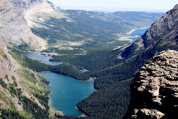
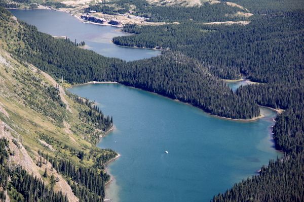
You can see a boat down there trolling for shrimp.
These were the ones where I had to be careful with the footing and movements. I’m pretty much looking down.
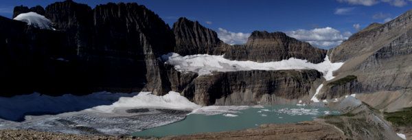
After getting back to the glacier area, I just trucked it back non-stop with no sign of the Todd Co.
Showers
---------
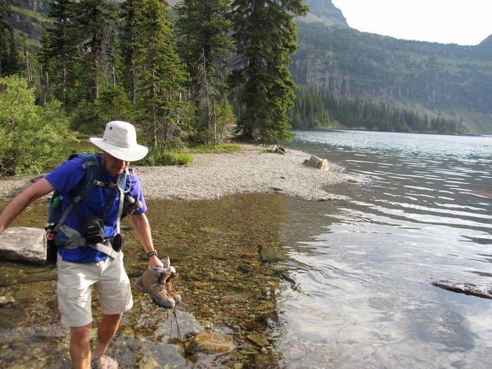
Today would be my first shower since getting to Glacier w eeek ago. Yeah, that’s kind of strange for someone who showers daily. I couldn’t find the showers at Kinta and Hole in the Wall. After a swim in Bowman, I didn’t need a shower (even though I had a token) at Johnson’s. The Snow Moon hike was slow and cool enough for a wash cloth. When I finally did take a shower, it was luke warm and weak. After a couple trips with the magic shower, it was a disappointing way start to paying for showers. I said something in the campstore, and she pretty much said, “That’s strange.” The next day, a guy came out of the shower I used and I asked him if the shower was warm. “Yeah, it was great.” I told him about the shower the day before and he handed me a token. “When you check in they give you a ridiculous number of tokens.” My shower was also great….finally.
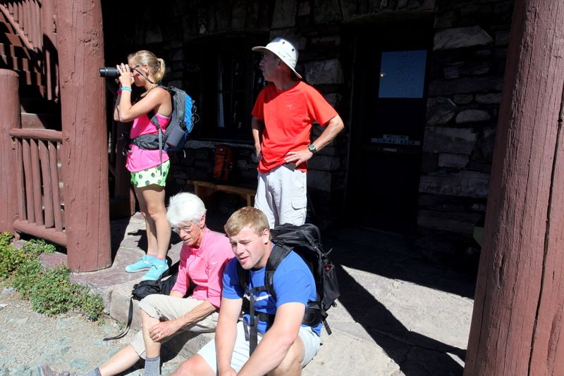
That evening, Todd and Ryan stopped by and we arranged details for tomorrow’s hike. Todd mentioned something about the fire and being in for the night, and said they have one going too. I got a sinking feeling and thought about the “five year probation.” Anyway, Pete, Todd and Co, and I’d rendezvous at Logan for a hike.
Jay