Glacier Park Chat


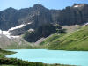
FYI - I didn't realize you could actually see the GTTSR from the Chalet. I zoomed to get a closer look. We started about 9:15AM in very windy conditions. I would lag everyone as we made that initial climb altho I would catch up when they stopped for pictures or in Mary's case, she was readjusting her pack.
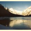
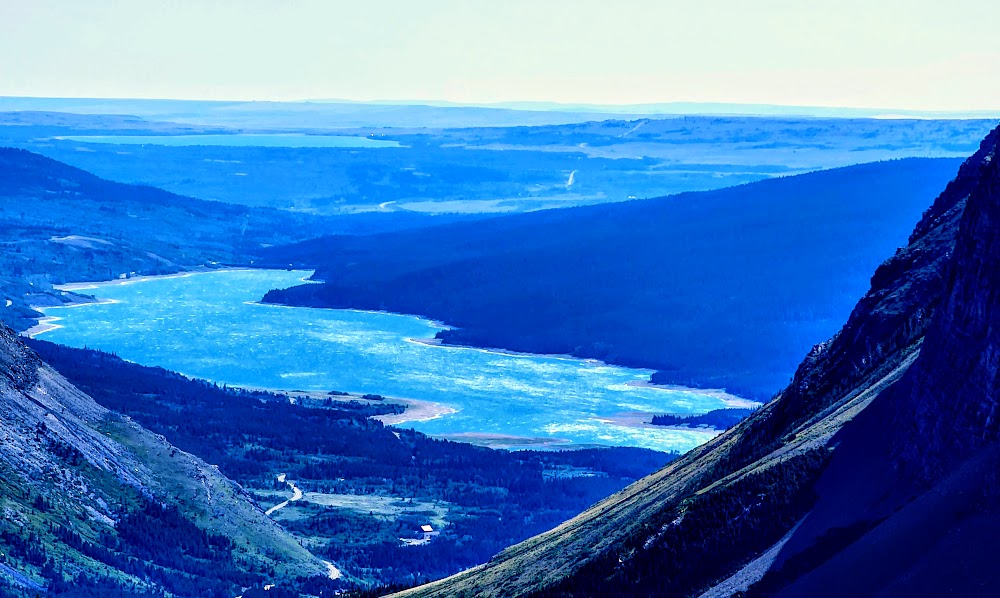
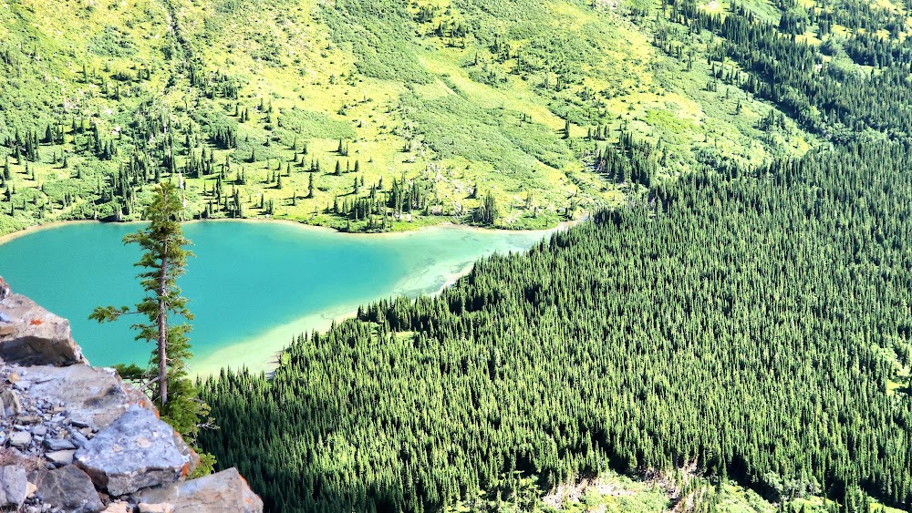
We started down the other side where you would start seeing all the lakes and then veer slightly and down some more. Zoomed view of Sherburne Lake/Reservoir and Duck Lake.
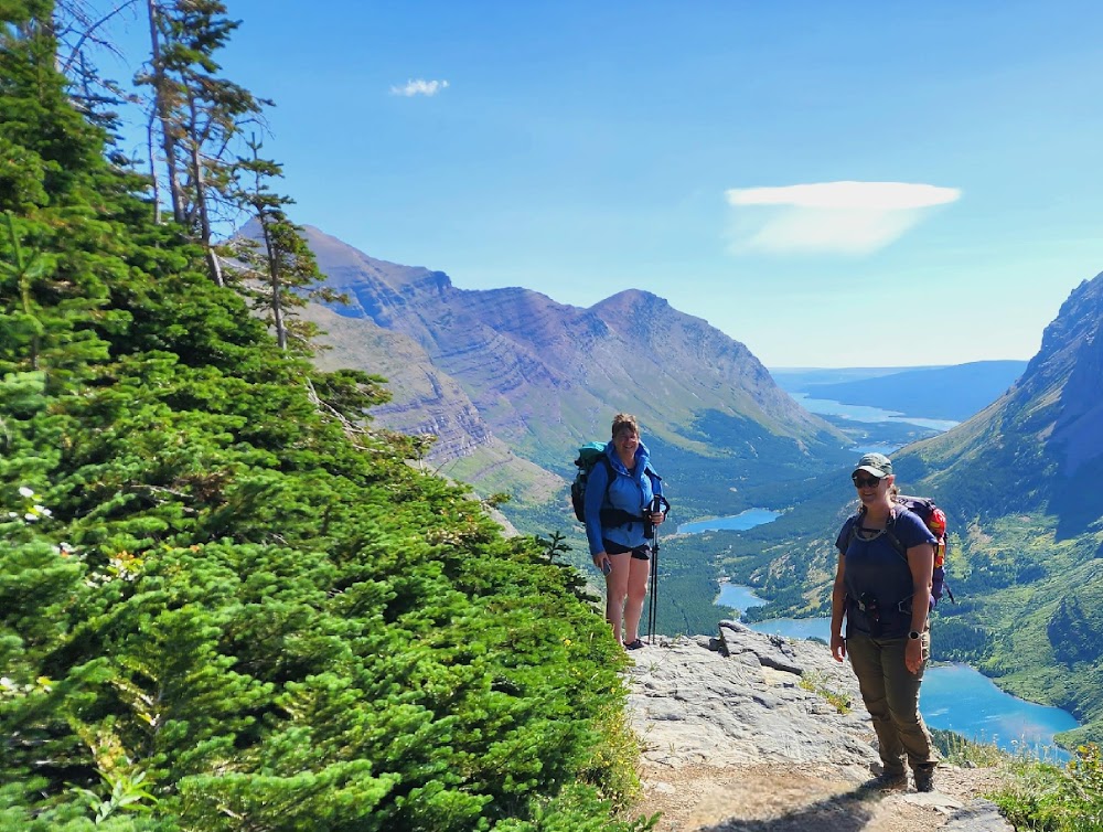
Before we headed on, I was able to get a group photo with a small pond and large snow mass in the background.

You drop levels fairly fast as you continue through the forest. Joelle's son that we called Weekend (he had a French name and I never heard it officially), hiked ahead with Deborah and Mary while the three of us lagged behind. Before you know it you start switchbacking around and down the mountain with views of Swiftcurrent Glacier.
I always pay homage to the one area that we hiked over in 2011 (today I was hiking 12 years and a day later) that a massive snowfield was covering a waterfall; as it was a dicey crossing https://hikearizona.com/photo.php?ZIP=210188.
Eventually you come to a short-lived view of Windmaker Lake. I wonder how many of my group even saw that lake as you kind of need to know where to look. It's such a pretty little lake that is not well known in the park as you can't access it.
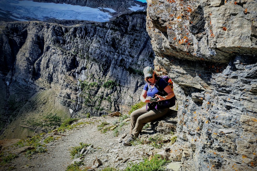
 Around the corner, Devils Elbow, the cliff switchbacks begin in earnest where you have views of all the waterfalls coming off the mountain, some from the Swiftcurrent Glacier and some just from snow. I am in constant awe of all that water
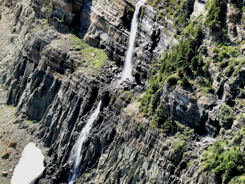
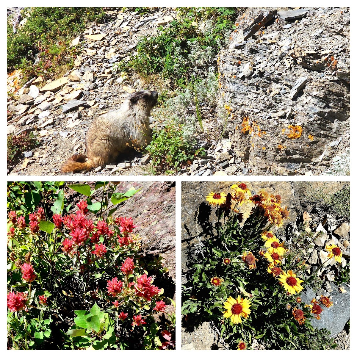
We also had several encounters with some marmots, including Deanna who had an up close and personal photo session (hard to see the marmot but it's there). I have several pics and a couple movies of our marmot encounters.
We came to a corner where we would meet up briefly with the lead hikers but just like that, they were gone again. It's really too bad as I would have liked to get some more pictures of them in the environment. I would take pictures of the various flora along the way and of course, took movies. FAUNA and FLORA:
 This would cause me to always lag the group but I didn't see the need to be in a real big hurry.
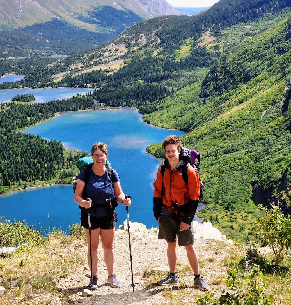
Finally we hit the really long switchbacks that took you through tall foliage on each side of the trail. I always find this part a bit tedious. And then we hear the water and just like that, we are at the bottom.
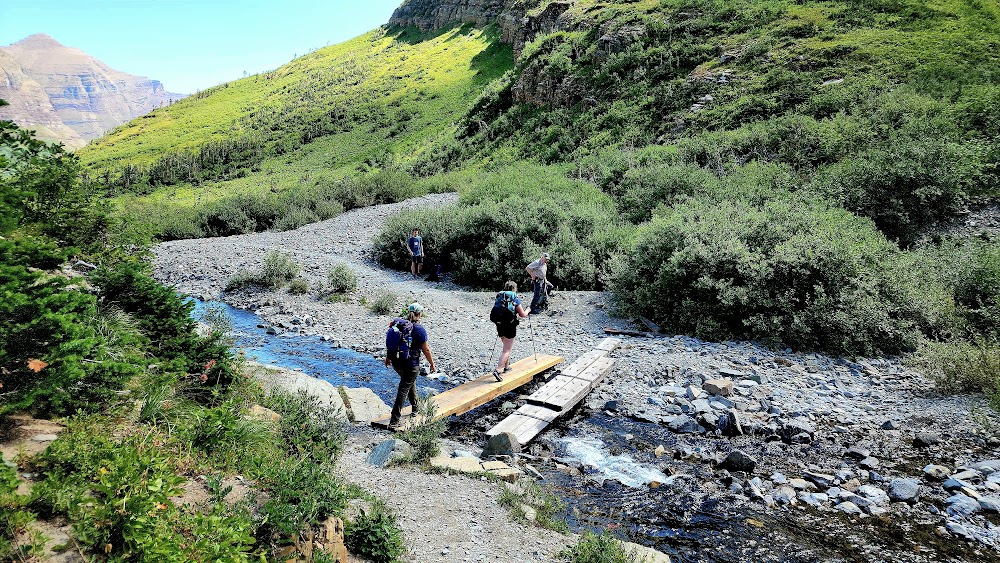
We did see about a dozen hikers on our way down. They all had a long but beautiful climb up, that's for sure. Joelle's son Weekend had waited for us here across the planked Swiftcurrent Creek.
 There was also a volunteer ranger that we discussed the unpreparedness of some of the hikers we saw at the Chalet. For example, one couple thot the shuttle was at the Chalet, they didn't know they needed to hike four miles and 2500 feet down on a very exposed trail. We had a quick snack and I took off my vest as it was now heating up a little.
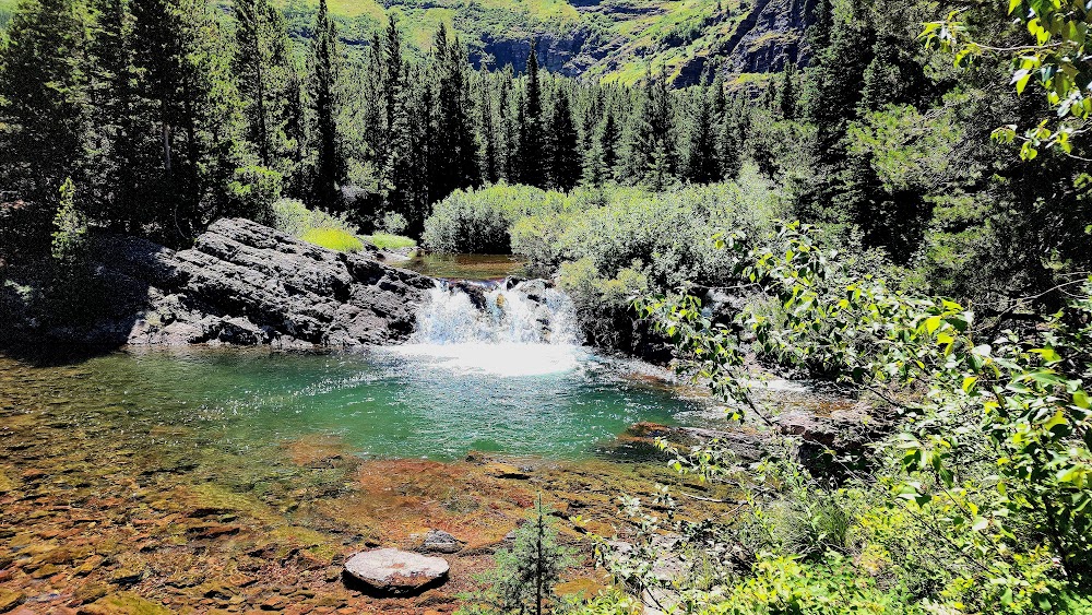
From here, as we headed toward Mount Wilbur, the trail was pretty much flat as we crossed over some various flows of water including one area that involved stepping stones. We rounded Bullhead Lake and made good time as we started to encounter more people, which was to be expected. There were still wildflowers to admire. We came upon the side of Red Rock Lake where there is a side path you can take to get closer to the water, however, we continued on. A little further there was a small little waterfall as the Creek went around the corner heading toward Red Rock Lake.
We hiked to the north of the Lake and encountered the intersection that takes you to the Falls. The others didn't seem interested in stopping so we continued on. Soon you are hiking right back to the lake where there is a beach and that's where we caught Deborah, Mary and Walker.
We swung wide and continued through some tall foliage of thimbleberry bushes. The thimbleberries are about to ripen fully and I found a few to eat
 . We weren't going to go down to the lake but we heard there were moose. When we got to the beach a ranger was giving her presentation and we got to see five moose
 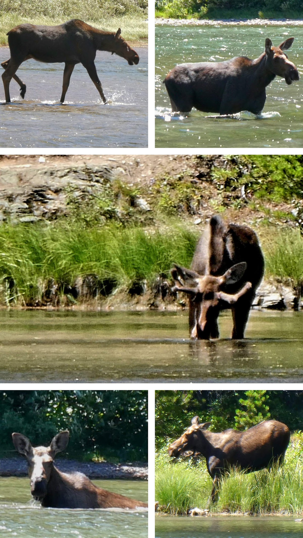 We hung here for a little while but I decided to go on as Joelle was sticking around. Deeanna would come until we met Weekend and then once she hooked them back up again she would meet me at the Trailhead.
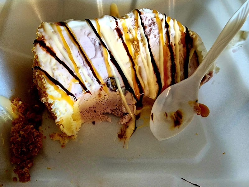
 We made plans with my other hiking partners to meet up at Froggies for Indian Fry Bread tacos but sadly, they only opened for dinner so we had a late lunch at St Mary Lodge Snowgoose Grille. The girls had fried pickles for the first time. I've had better. I then drove Deanna to Rising Sun so she could catch the shuttle to Logan Pass where her car was parked and she would head for Spokane. I met my hiking partners at St Mary VC where we had left the other vehicle that had my stuff. They drove home to Big Arm MT and I headed up to Red Eagle Motel where I had made a reservation a couple nites prior. I would walk over to Johnson's to get a piece of Huckleberry Ice Cream pie which thankfully they had. The last couple times they haven't had it. I enjoyed every bite (imagine a "heaven" emoji).
Triplog and photoset for today's hike https://hikearizona.com/photoset.php?ID=71147
Triplog and photoset from 2018 (has pics of the Chalet's interior) https://hikearizona.com/photoset.php?ID=51265&start=0
from Chalet to near Devils Elbow
to near the bottom
from above Bullhead Lake to Swiftcurrent Creek and beyond
from the hanging bridge to the end, including moose
PS I sure hope some of you other folks post some sort of trip reports from this past summer.